The Shape of Water, Above, Below, Across
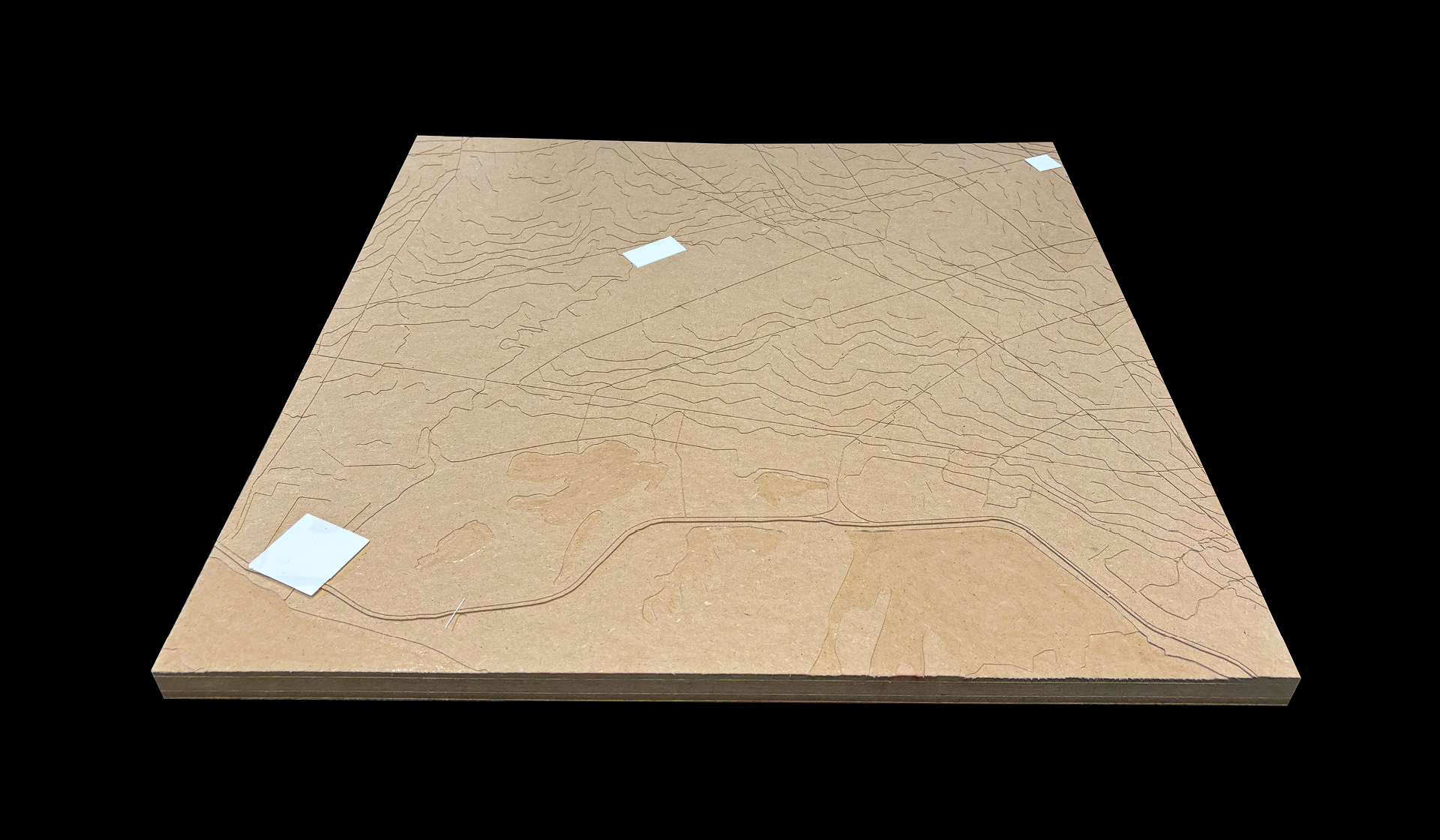
Asuncion, the capital of Paraguay, is a city vastly rich in bodies of water: around it, the Paraguay River defines its western border; below it, the Patiño aquifer covers the whole extension of the city; across it, over twenty streams cross the city’s topography.
The grid, the main tool in Asuncion’s urban development, abstracted the natural conditions of the territory. Today, the image of water in the city is ignored, associated with socio-economical stigmas.
Two documentations, a cartographical one, systematical and from above, and a photographic one, on a human scale and horizontal, led to the recognition that Asuncion’s streams are the most comprehensive elements of its hydrology: they emerge out of the aquifer’s recharge zones; they cross the city’s topography and are in contact with diverse socio-economical ecologies; they finally discharge their waters on the wetlands and the river.
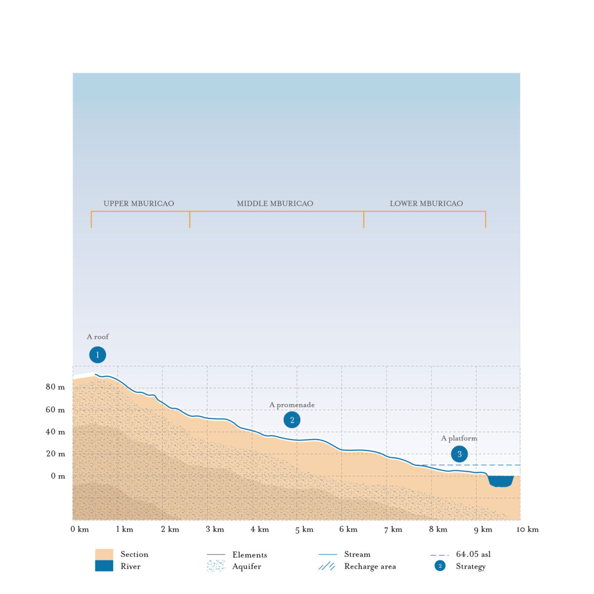
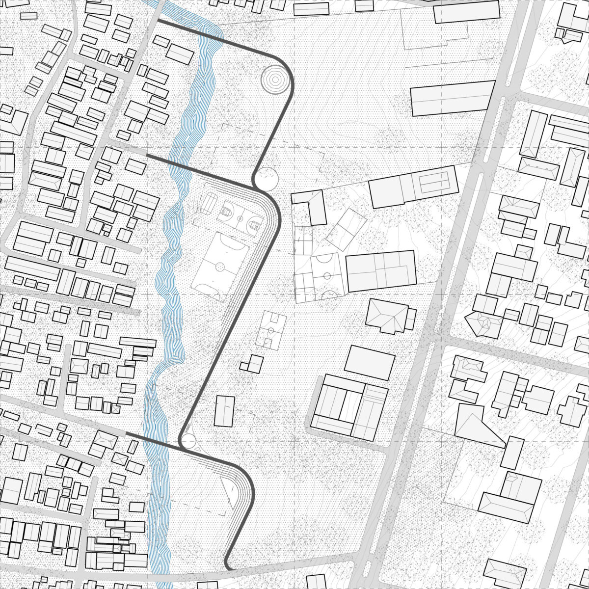
An architectural strategy proposes a series of hydraulic infrastructures along one stream, the Mburicao.
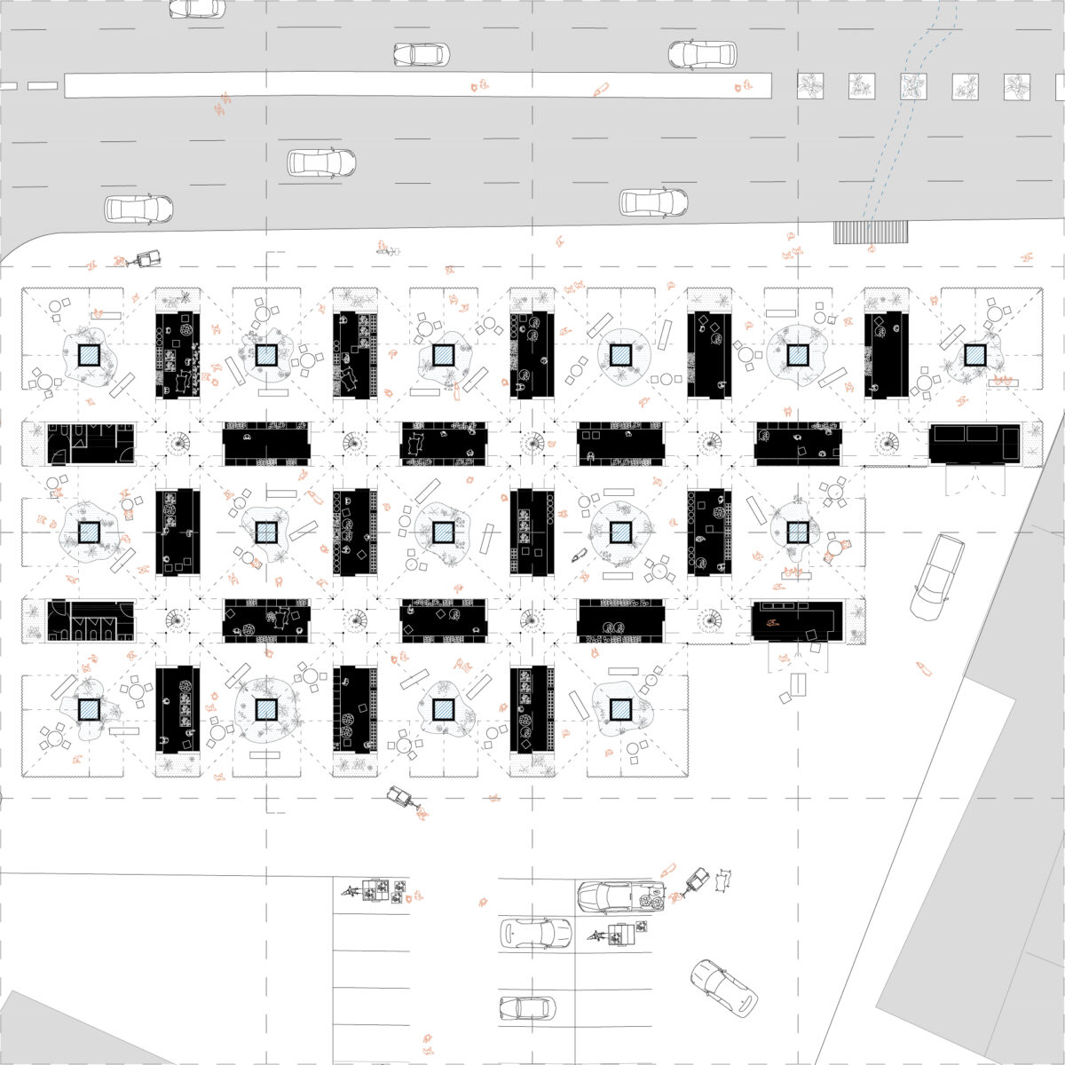
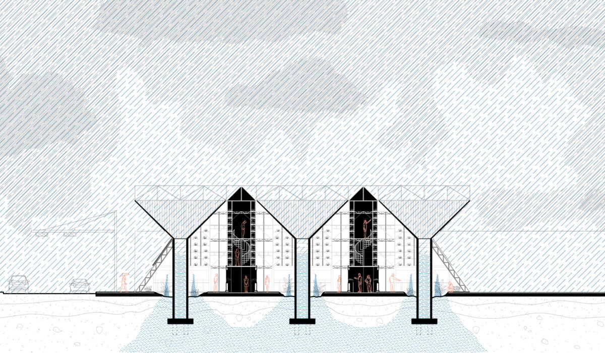
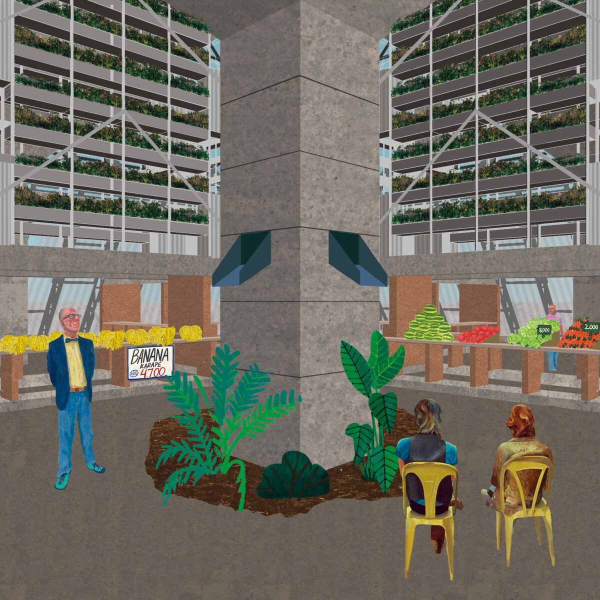
On its upper course, where the stream’s spring is located and the soil allows rainwater to recharge the aquifer, The Roof catches rain water and houses an aquaponic market underneath it.
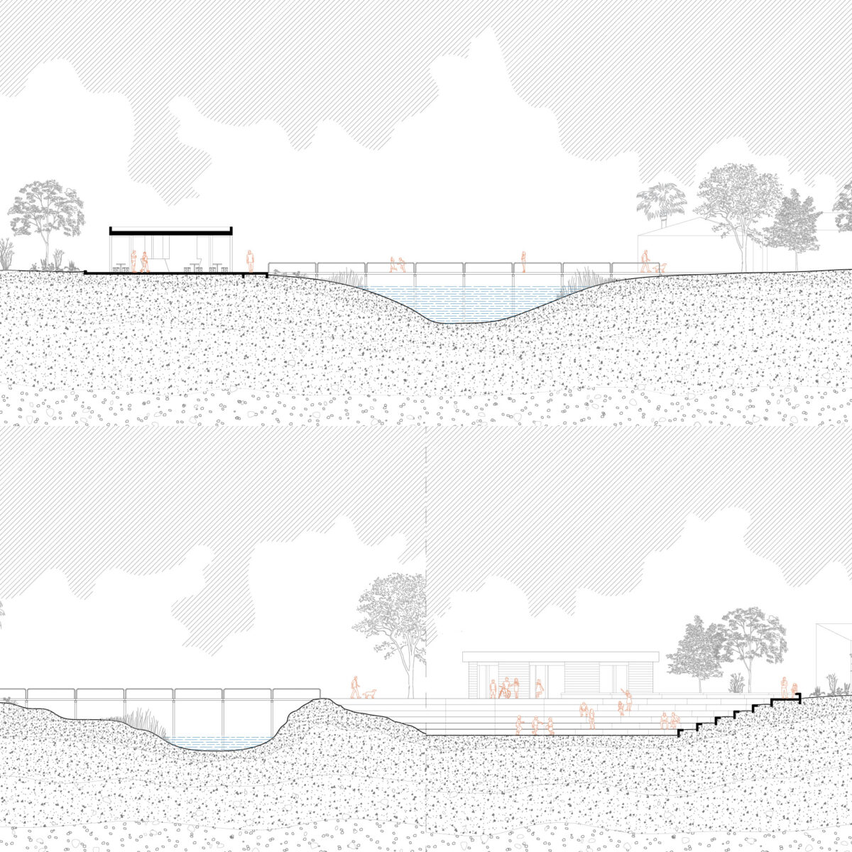
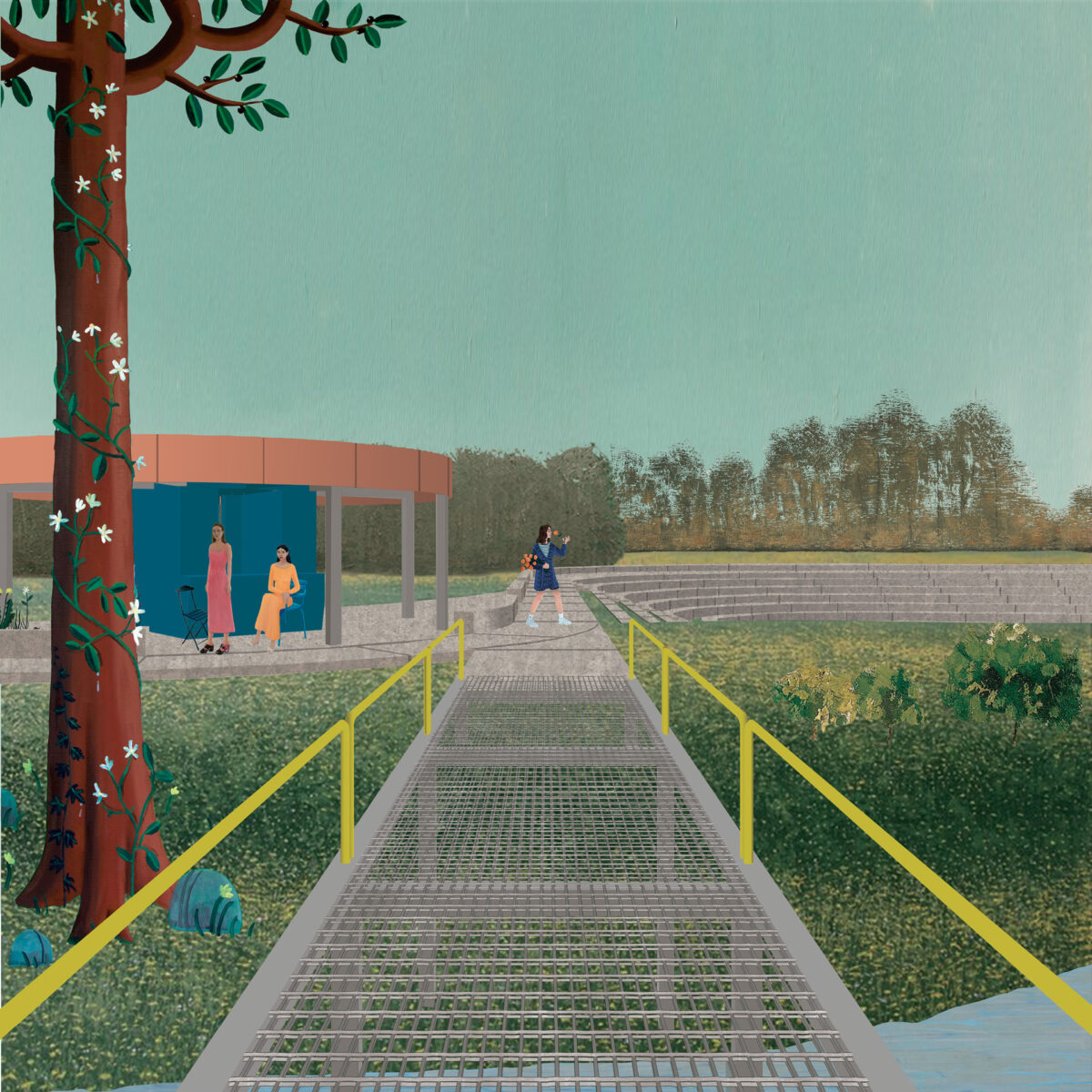
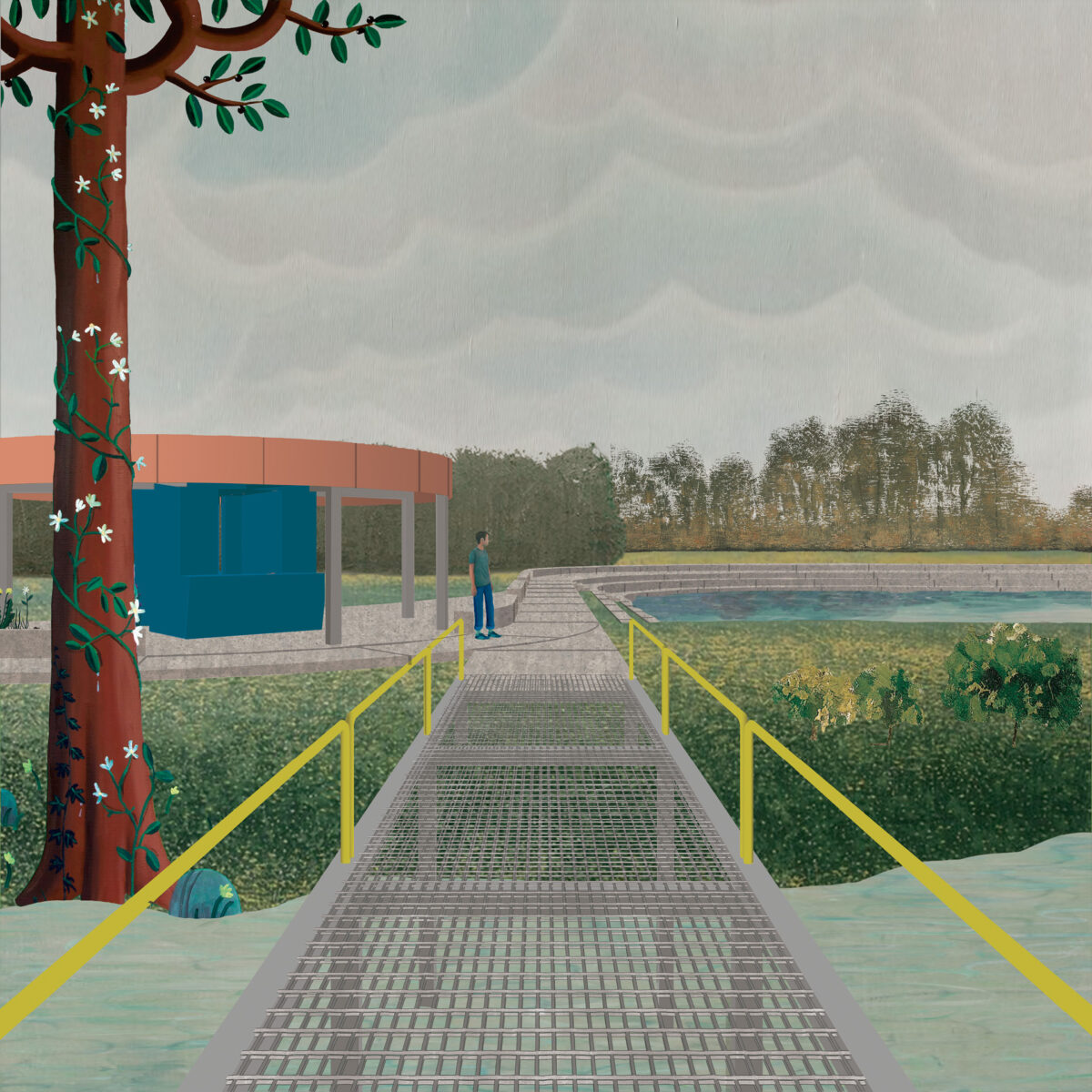
On its middle course, between a park, private schools and settlements, The Promenade establishes runoff retention surfaces, which can also be utilised as recreational and educational facilities.
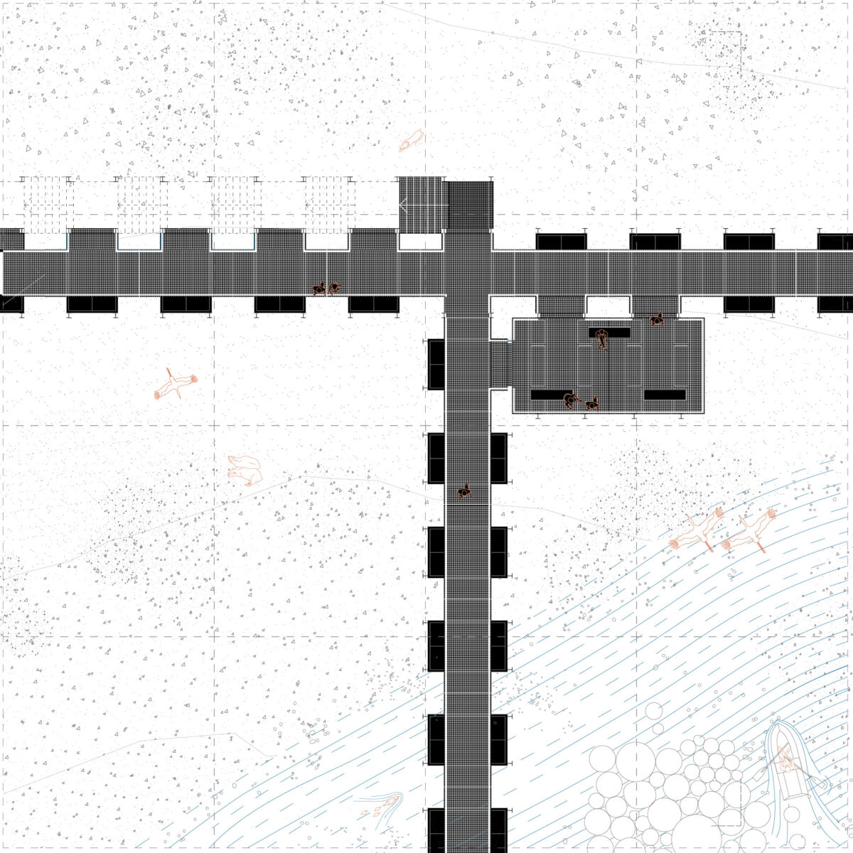
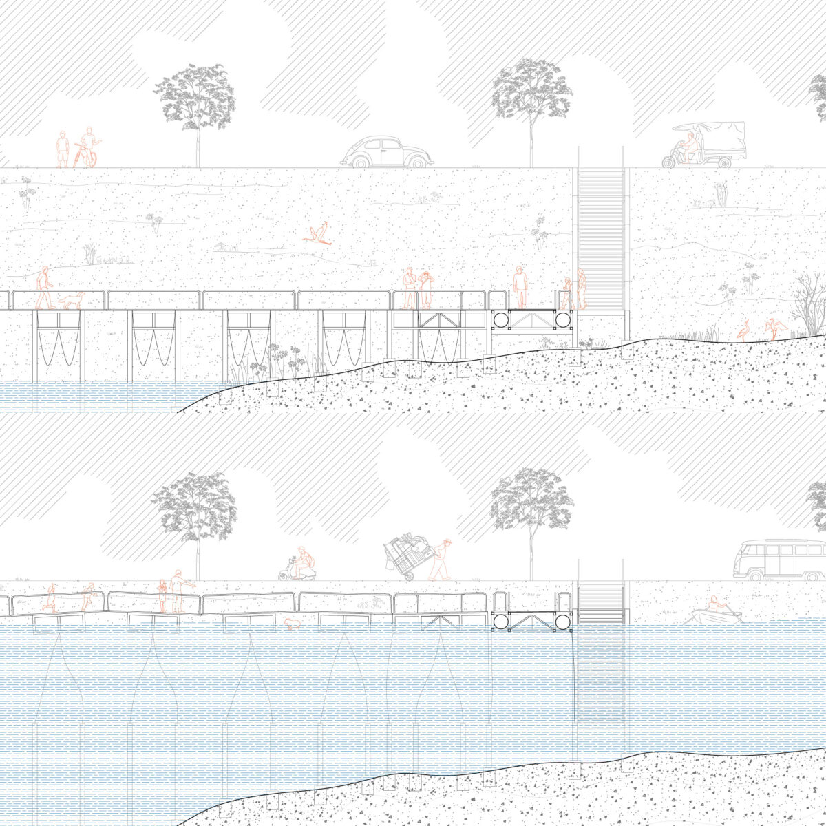
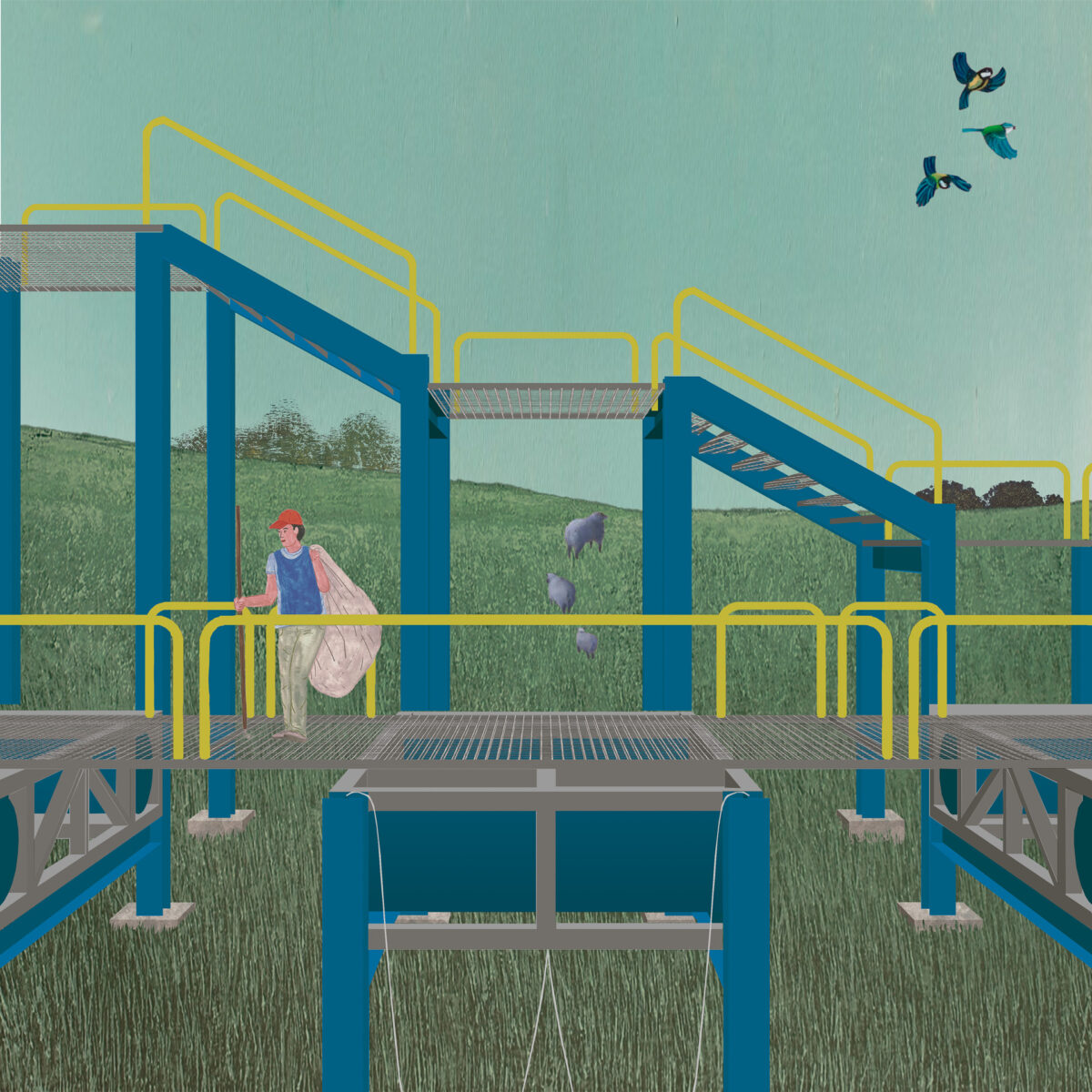
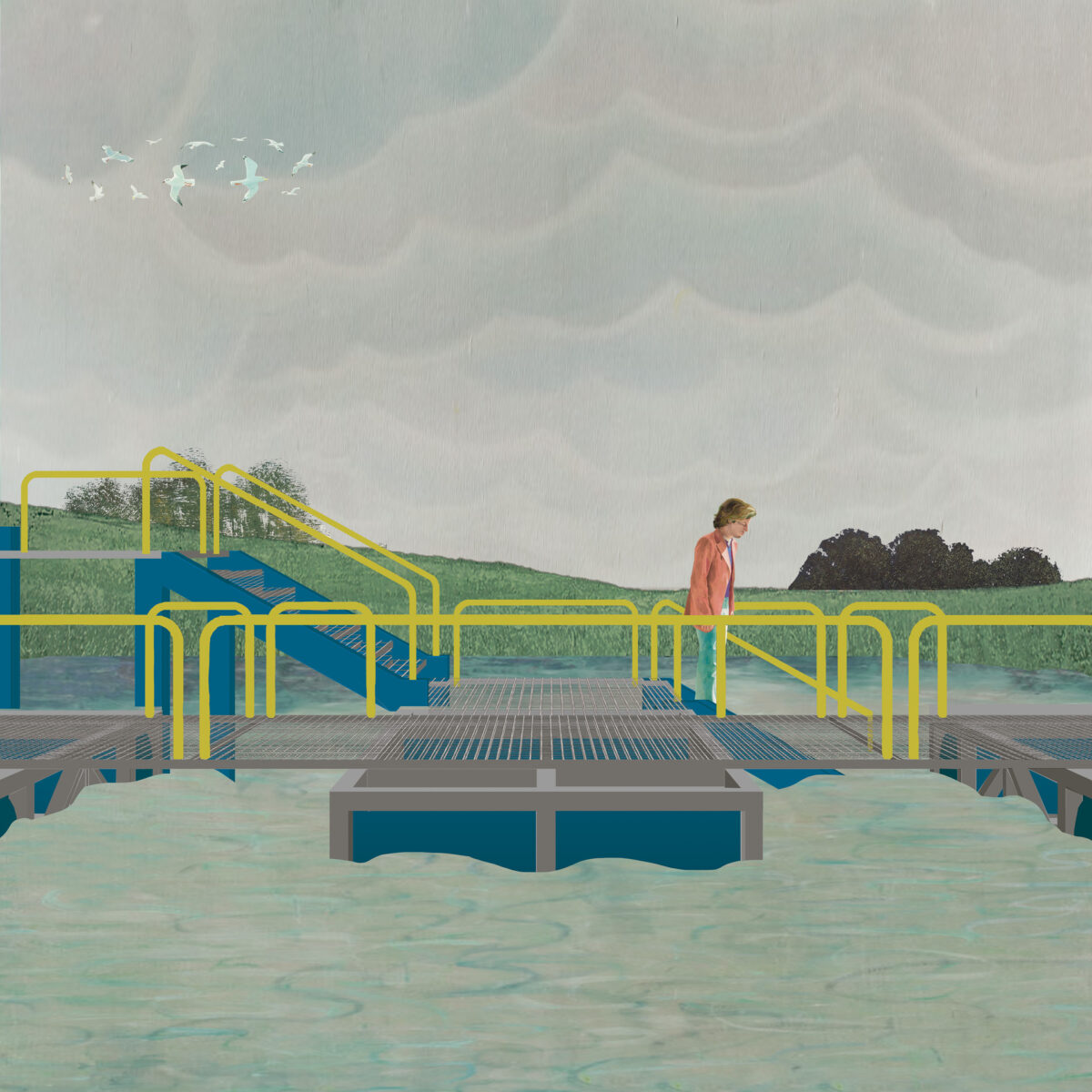
On the lower course, at the wetlands, The Platform enables asuncenos close access to the landscape, even upon fluvial floods.
The projects react to to different altitudes of the topography of the city, letting the natural conditions of the sites define the shape and function of the architecture. They also connect hydraulic functions with collective programs, rendering the stream visible for the asunceno.
